大家有冇上過 Google Maps? http://maps.google.com
香港既衛星圖都幾詳細,下面係幾幅我地去開既山坡既衛星圖:
飛鵝山東、西南:

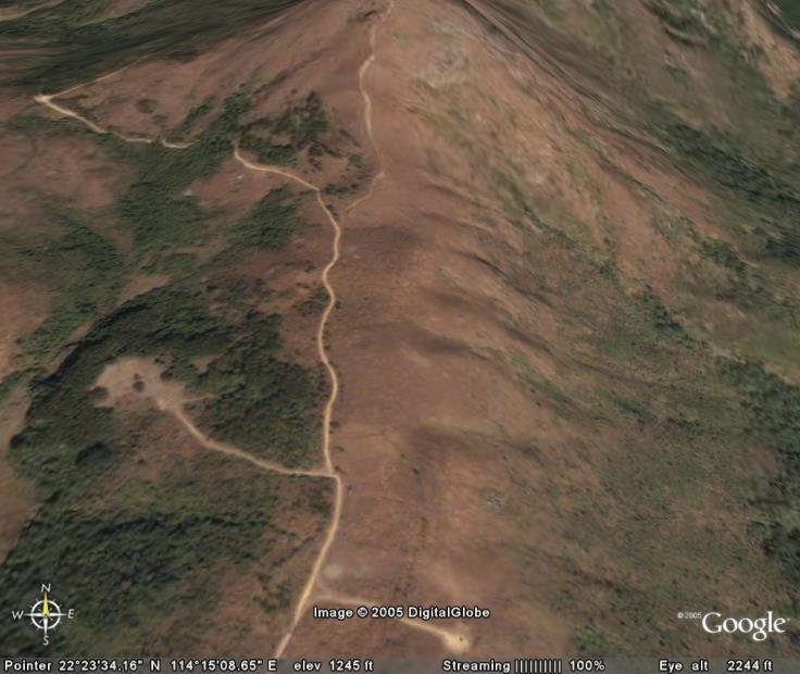
飛鵝山南、北:

凊水灣:

馬鞍山:

石澳:

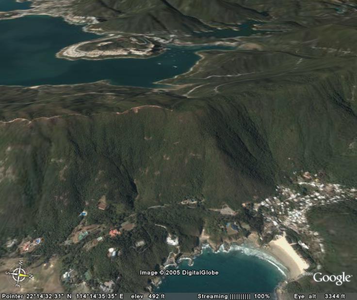
南丫島:

| RC Slope Soaring in Hong Kong http://www.rcsail.com/forum/ |
|
| Google Maps 好正 http://www.rcsail.com/forum/viewtopic.php?f=3&t=507 |
Page 1 of 1 |
| Author: | CM Cheng [ Tue Jun 28, 2005 12:48 am ] |
| Post subject: | Google Maps 好正 |
大家有冇上過 Google Maps? http://maps.google.com 香港既衛星圖都幾詳細,下面係幾幅我地去開既山坡既衛星圖: 飛鵝山東、西南:
飛鵝山南、北:
凊水灣:
馬鞍山:
石澳:
南丫島:
|
|
| Author: | Stanley [ Tue Jun 28, 2005 1:07 am ] |
| Post subject: | |
哎呀!我見到我一年前在扎山道南風位唔見咗隻機呀!圖中有個小小嘅白點就喺我隻機啦!隻機後嚟比其他機友落山執機時無意中發現,不過己經發莓。早知有咁正嘅圖就好啦!阿邦你快D睇吓有冇今過星期才影嘅衛星圖,話唔埋可以揾番上個星期唔見咗嘅 MiniNYX 啊! |
|
| Author: | peterpan [ Sun Dec 18, 2005 12:22 am ] |
| Post subject: | |
Stanley wrote: 哎呀!我見到我一年前在扎山道南風位唔見咗隻機呀!圖中有個小小嘅白點就喺我隻機啦!隻機後嚟比其他機友落山執機時無意中發現,不過己經發莓。早知有咁正嘅圖就好啦!阿邦你快D睇吓有冇今過星期才影嘅衛星圖,話唔埋可以揾番上個星期唔見咗嘅 MiniNYX 啊!
Thank you for your Satellite photo, it is very clear indeed. |
|
| Author: | stanleytam [ Thu Dec 22, 2005 10:11 am ] |
| Post subject: | |
This is 3D version. Really cool! http://earth.google.com/ |
|
| Author: | stanleytam [ Thu Dec 22, 2005 11:32 pm ] |
| Post subject: | |
| Author: | Stanley [ Mon Jan 09, 2006 7:01 pm ] |
| Post subject: | |
Recently I am playing with the Google 3D to see whether we can find some good slopes for northerly wind. It is really cool as we can set any view direction to see the 3D images. I highly recommend you to try before attemping to go hiking searching for a decend slope. Here are some cool images: Clearwater Bay, both east and north slopes 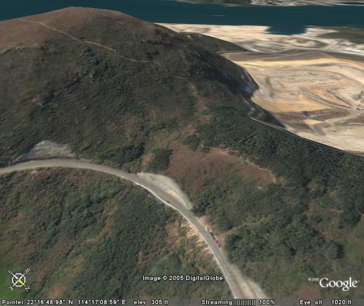
Fei Ngo Shan east slope 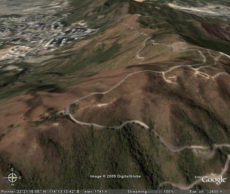
Fei Ngo Shan north slope 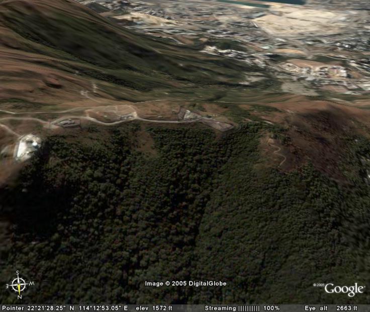
Fei Ngo Shan south slope 
Ma On Shan east slope 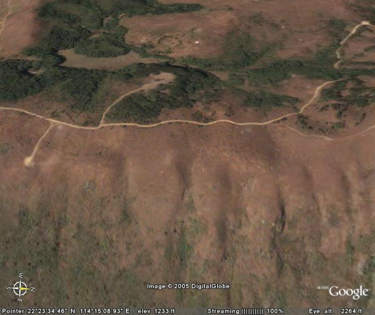
You can even see the car park and the hiking track up to the mountain 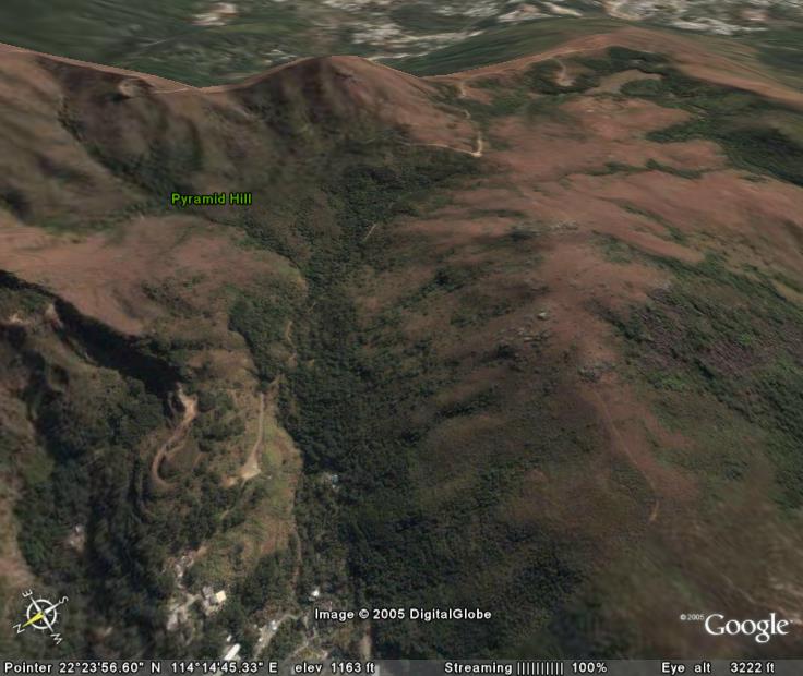
Shek O from different angle 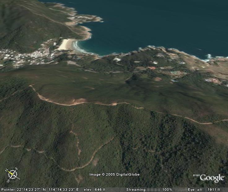
Sham Chung, you can see 村長間屋 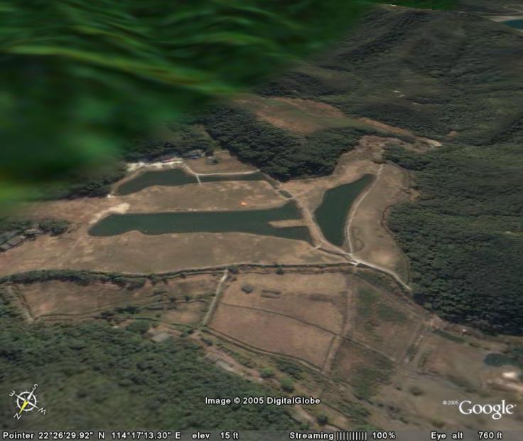
Lamma Island from a different angle 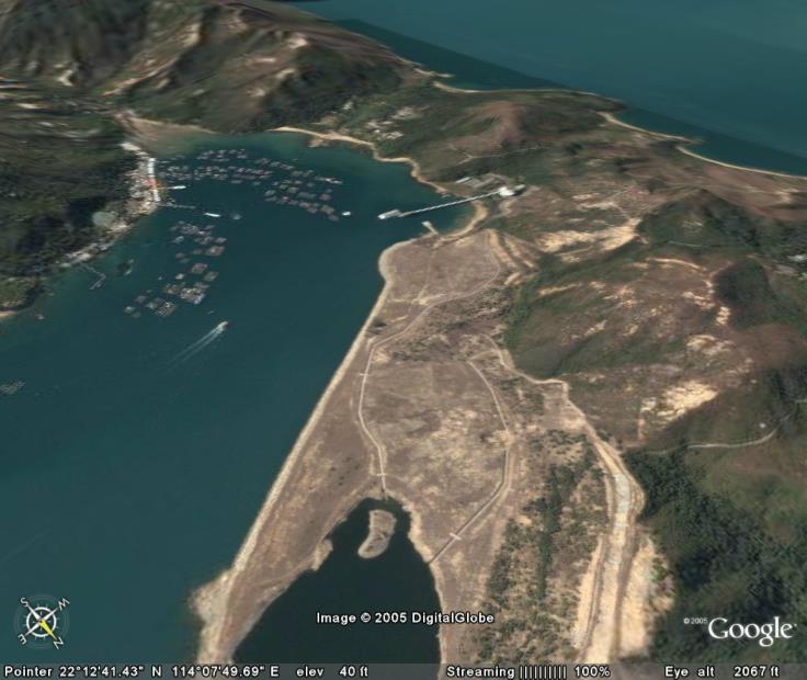
I have searched a few possible northerly slopes and hope to go there sometimes check them out. Cheers! |
|
| Author: | King [ Thu Dec 07, 2006 7:39 pm ] |
| Post subject: | Google Earth Beta 4 released on Nov 2006 |
Latest Google Earth Beta 4 just released on Nov 2006. Below please find the Lung Ha Wan & Clear Way Bay relative position. Photos linkage as follows: 

Notes: (1) E1, E2, E3 & 28th flying sites located in CWB (2) CWB (1) CWB (2): Clear Way Bay 1 & 2 |
|
| Author: | King [ Sat Dec 09, 2006 3:52 pm ] |
| Post subject: | Google Earth -- 石澳地勢圖 與 相片的比較。 |
Google Earth 石澳地勢圖 與 相片的比較。 

Shek O flying site location 
Opposite angle of the flying site 
Parking lot and flying site location 
|
|
| Page 1 of 1 | All times are UTC + 8 hours |
| Powered by phpBB® Forum Software © phpBB Group http://www.phpbb.com/ |
|